Hamburg / A local guide from the Elbe to the Alster
The best of Hamburg: restaurants, shops and local services
HamburgList ranks the restaurants, cafés, shops, salons, clinics and services Hamburg relies on, whether you need a proper Fischbrötchen, a reliable mechanic in Barmbek or a dentist in Eimsbüttel.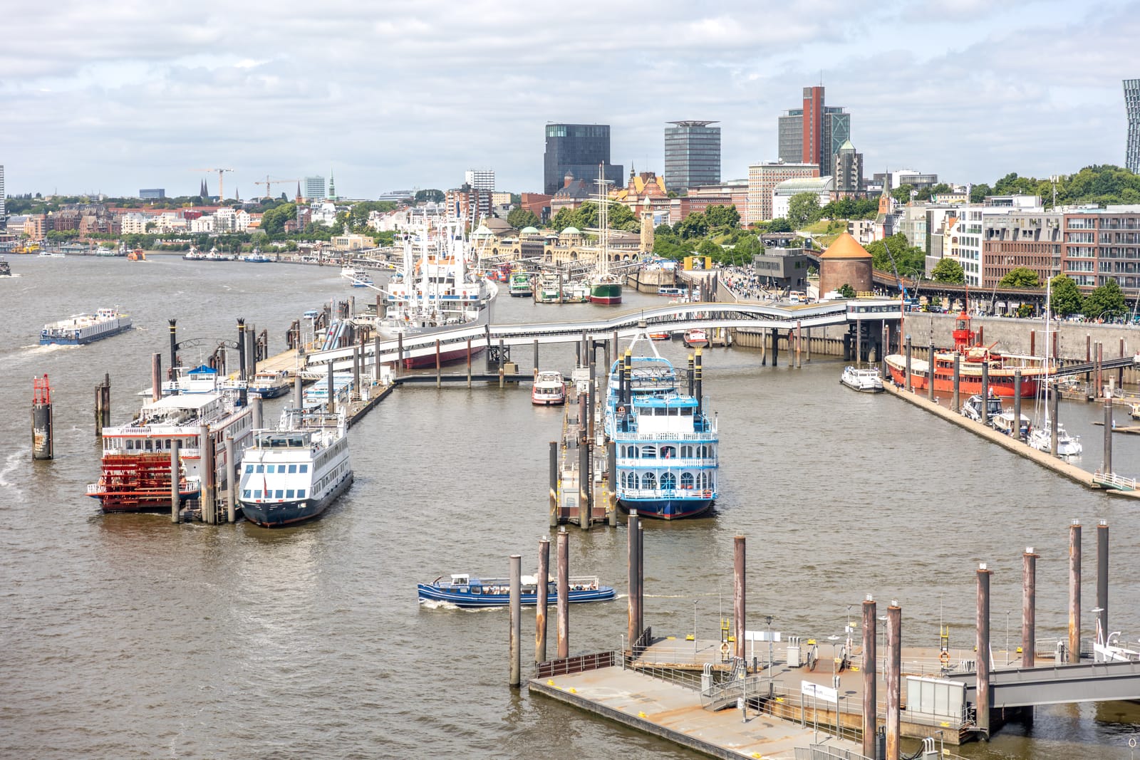
Categories
Choose a category, find your list
Nine sections cover food, culture, shopping, beauty, health, cars, hotels, education and professional services. Inside each, the rankings deal with one kind of business at a time.
Discover the guides
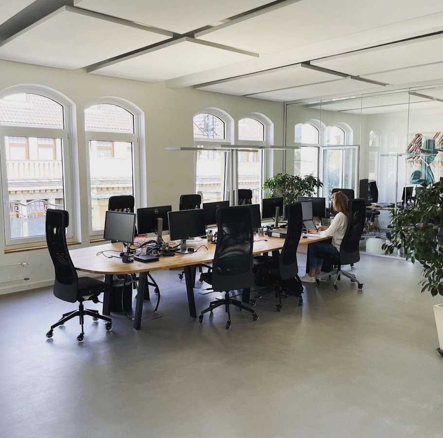 10 Best Property Management Companies in Hamburg10 Best Property Management Companies in Hamburgguide ↗
 10 Best Solar Panel Installers in Hamburg10 Best Solar Panel Installers in Hamburgguide ↗
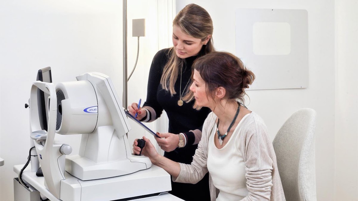 8 Best Laser Eye Surgery Clinics in Hamburg8 Best Laser Eye Surgery Clinics in Hamburgguide ↗
 12 Best Aesthetic Clinics in Hamburg12 Best Aesthetic Clinics in Hamburgguide ↗
 16 Best Tattoo Artists in Hamburg, Germany16 Best Tattoo Artists in Hamburg, Germanyguide ↗
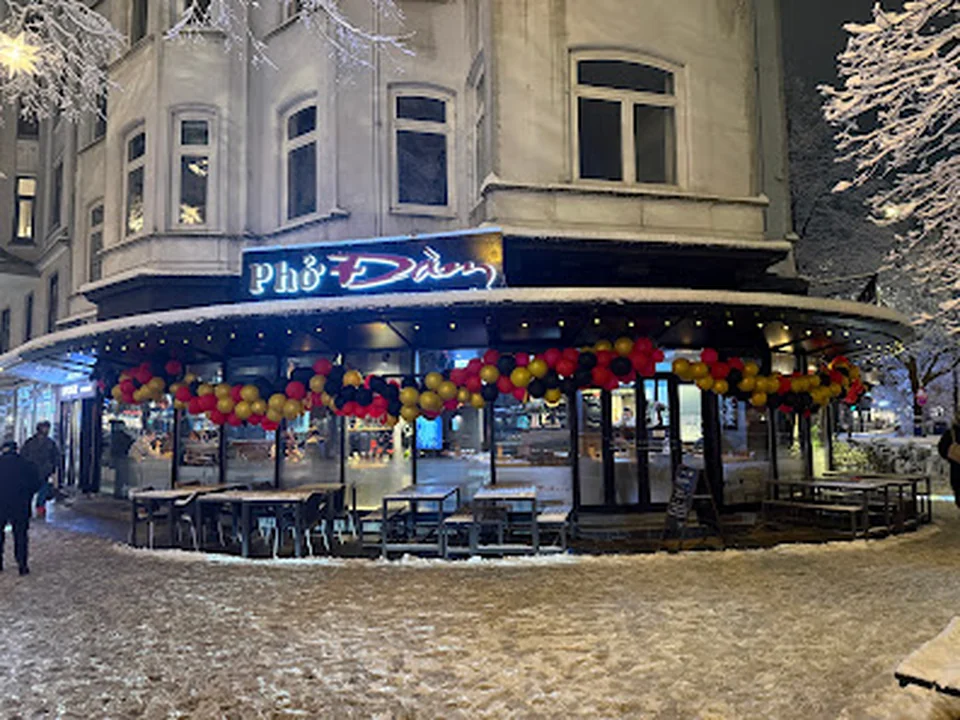 16 Best Vietnamese Restaurants in Hamburg16 Best Vietnamese Restaurants in Hamburgguide ↗
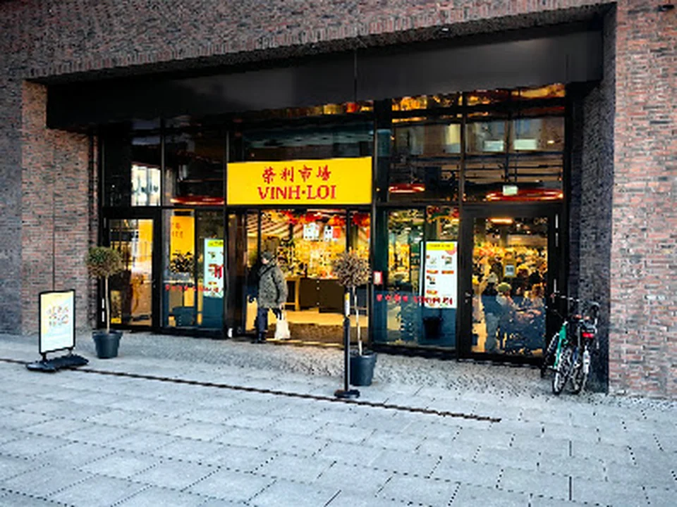 15 Best Asian Supermarkets in Hamburg15 Best Asian Supermarkets in Hamburgguide ↗
 15 Best Boutique Hotels in Hamburg15 Best Boutique Hotels in Hamburgguide ↗
 15 Best Car Washes in Hamburg City15 Best Car Washes in Hamburg Cityguide ↗
 15 Best German Language Schools in Hamburg15 Best German Language Schools in Hamburgguide ↗
Local perspective
A port city with Hanseatic manners
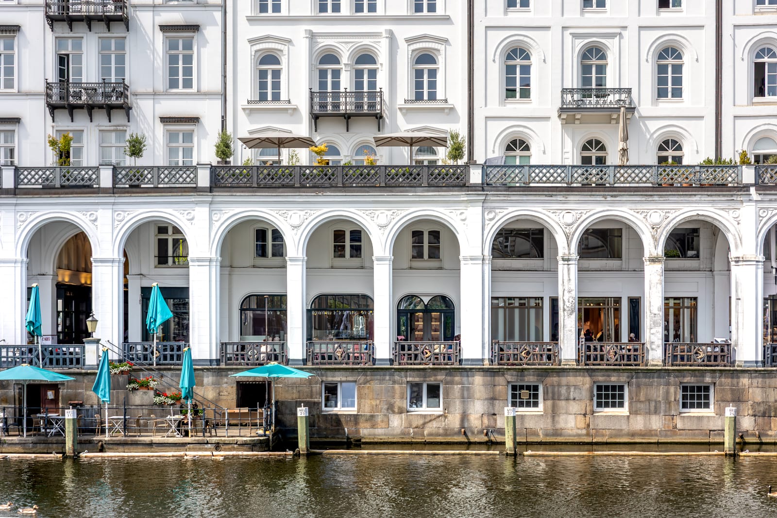
Hamburg does not shout about its best places. Merchant understatement runs deep here, and a fine fish restaurant in Övelgönne or a family bakery in Eppendorf may have nothing more than a modest sign. What it does have is regulars, often for decades, and the kind of word of mouth that survives any amount of Schietwetter.
Before choosing
Our way of choosing
We research each category across all seven of Hamburg's boroughs, look for businesses with a lasting reputation among their customers, check every detail and come back to each list at regular intervals.
Contact →Hamburg